Tierras de la Perdiz route
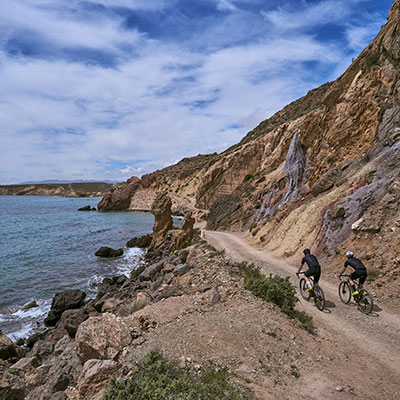
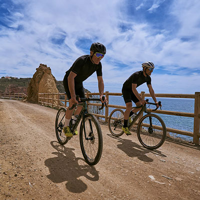
This route covers mountain land and dry watercourses in the northeast area of the municipality of Mazarrón, with panoramic views of the Mediterranean coast and very beautiful inland landscapes.
The path begins by rounding the sea at the port of Mazarrón. From there, we'll leave towards the villages of Los Lorentes and Las Balsicas through a landscape of crops and greenhouses. In these villages we'll take the dry watercourse and begin to climb the Sierra del Algarrobo to circle El Mingrano, enjoying the views of the coast all the while.
Once at the top, we'll cross the AP7 motorway and head towards Mazarrón, specifically La Perdiz, through Hoya de los Izquierdos, descending down the dry watercourse until we connect with the Vía Verde in Mazarrón, which will return us to our starting point.
- Elevation gain: 420 metres
- Time: 3 hours
- Length: 44.7 km.
- Difficulty: High
The coves route
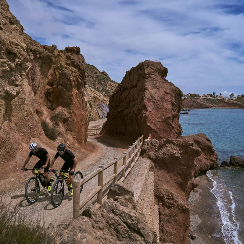
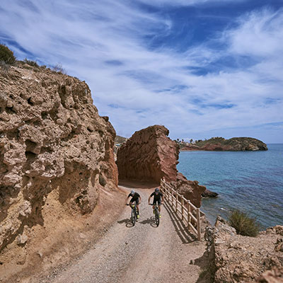
This mountain bike route takes places in the east of the municipality of Mazarrón, through Mediterranean coves, and enters the large dry watercourses and coastal mountains which surround the Sierra de las Moreras.
This is a route with great scenic value which runs through very beautiful landscapes which sharply contrast with each other.
The trip begins in the Calas de Bolnuevo, with Sierra de las Moreras in the background, and crosses unspoilt beaches which frame an itinerary including the SBPA and SCI of the Sierra de las Moreras. Leaving the coves behind, we pass through greenhouses to reach Cañada de Gallego and from there, on an ascending path, we head to our next goal: the Sierra de las Herrerías and Coto Fortuna. This is the hardest part of the route, since it is a continuous climb on public roads until reaching the summit of Las Herrerías. From this point we can enjoy magnificent views of the gulf of Mazarrón and all the mountains located from the centre to the south of the Region of Murcia. Another key area of this path is Coto Fortuna, which constitutes the main and richest mining centre of the municipality, with archaeological findings which go back to the age of splendour of the ancient Roman Empire. From here, we begin the descent to the village of Atalayas. Here we find a dry watercourse with a stretch of descent which can be very enjoyable due to the characteristics of the surface, made up of loose sand. Once in Mazarrón, we connect to its Vía Verde, which will take us to back to our starting point.
- Elevation gain: 710 metres
- Time: 3 and a half hours
- Length: 48.8 km.
- Difficulty: High


